Your cart is currently empty
Product image slideshow Items
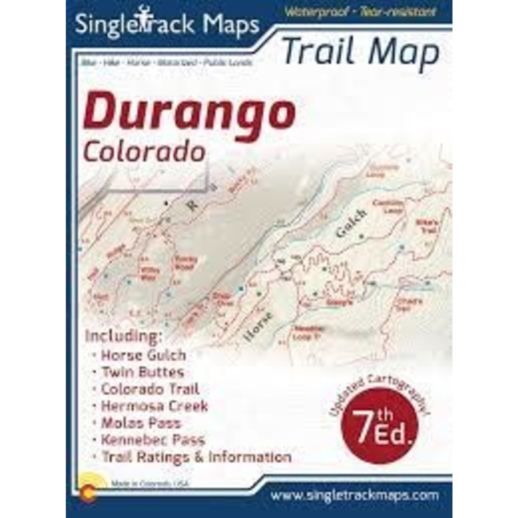
Hike, bike, horse, motorized, public lands, camping, etc....
Waterproof & tear resistant paper for rugged toughness!
Details:
Ratings: Easy, Medium, Difficult
Scale 1:37,382 - 1in = 0.6 Miles or 1in = 0.95 KM
Measures 4” x 5.5” folded and 33” x 22
Contour Interval = 40ft
Map Includes:
Lake Nighthorse
High Country areas like
The Colorado Trail. Molas Pass to Durango
“Molas” - Molas Pass to Bolam Pass - Seg. 25
“Blackhawk” - Bolam Pass to Hotel Draw Rd - Seg. 26
“Highline” - Hotel Draw Rd to Kennebec Pass - Seg. 27
“Sliderock” - Kennebec Pass to Junction Creek - Seg. 28