Your cart is currently empty
Product image slideshow Items
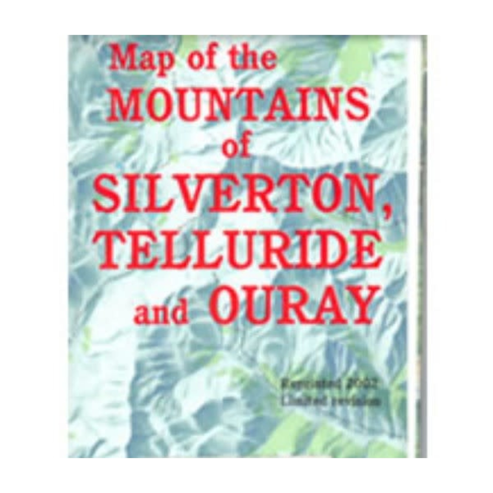
San Juan Mountains Assoc. has been highlighting this map for runner for over 10 years. It is an un-official map but we have great feedback on its accuracy.
Our staff will hand highlight the entire course for the Hardrock Hundred 100 mile foot race.
100-mile run with 33,197 feet of climb and 33,197 feet of descent for a total elevation change of 66,394 feet with an average elevation of 11,186 feet - low point 7,680 feet (Ouray) and high point 14,048 feet (Handies Peak).
All or part of this operation is conducted on Public Lands under special permit from the U.S. Bureau of Land Management and U.S. Forest Service.