Your cart is currently empty
Product image slideshow Items
• Waterproof • Tear-Resistant • Topographic Map
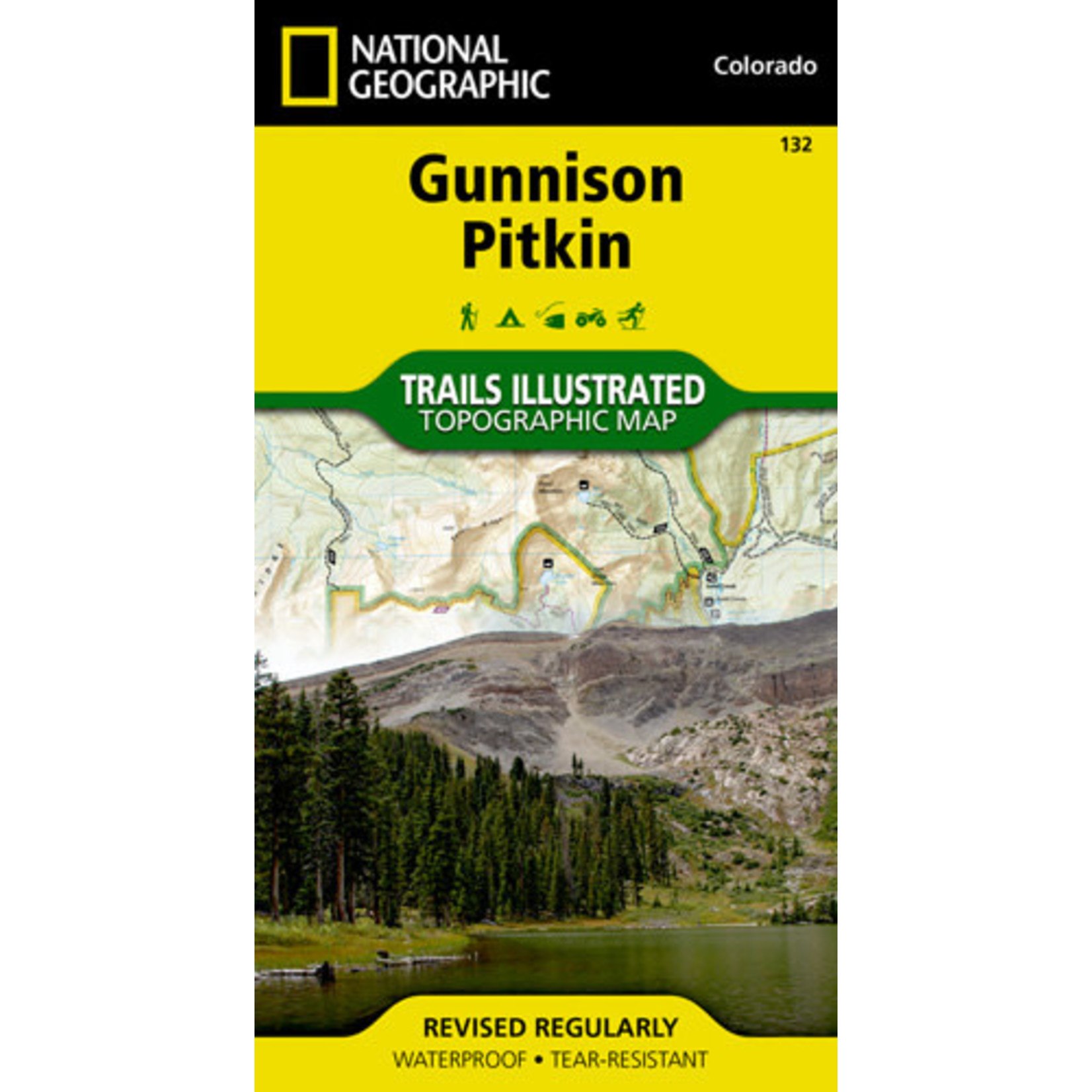
Includes trailheads, campgrounds, fishing, X-country ski areas and wildlife viewing.
Other features found on this map include: Fossil Ridge Wilderness, Gunnison National Forest, Taylor River, Tomichi Cr
• Waterproof • Tear-Resistant • Topographic Map
Map of Gunnison and Pitkin
Some of the many recreation features noted include trailheads, campgrounds, fishing holes, cross-country ski areas and wildlife viewing areas. Also provided are the Leave No Trace guidelines, wilderness regulations and survival tips.
Every Trails Illustrated map is printed on "Backcountry Tough" waterproof, tear-resistant paper. A full UTM grid is printed on the map to aid with GPS navigation.
Other features found on this map include: Fossil Ridge Wilderness, Gunnison National Forest, Taylor River, Tomichi Creek.
Looking for more information or ideas for your upcoming trip? Pop over to the San Juan Mountains Association website at: https://sjma.org/