Your cart is currently empty
Product image slideshow Items
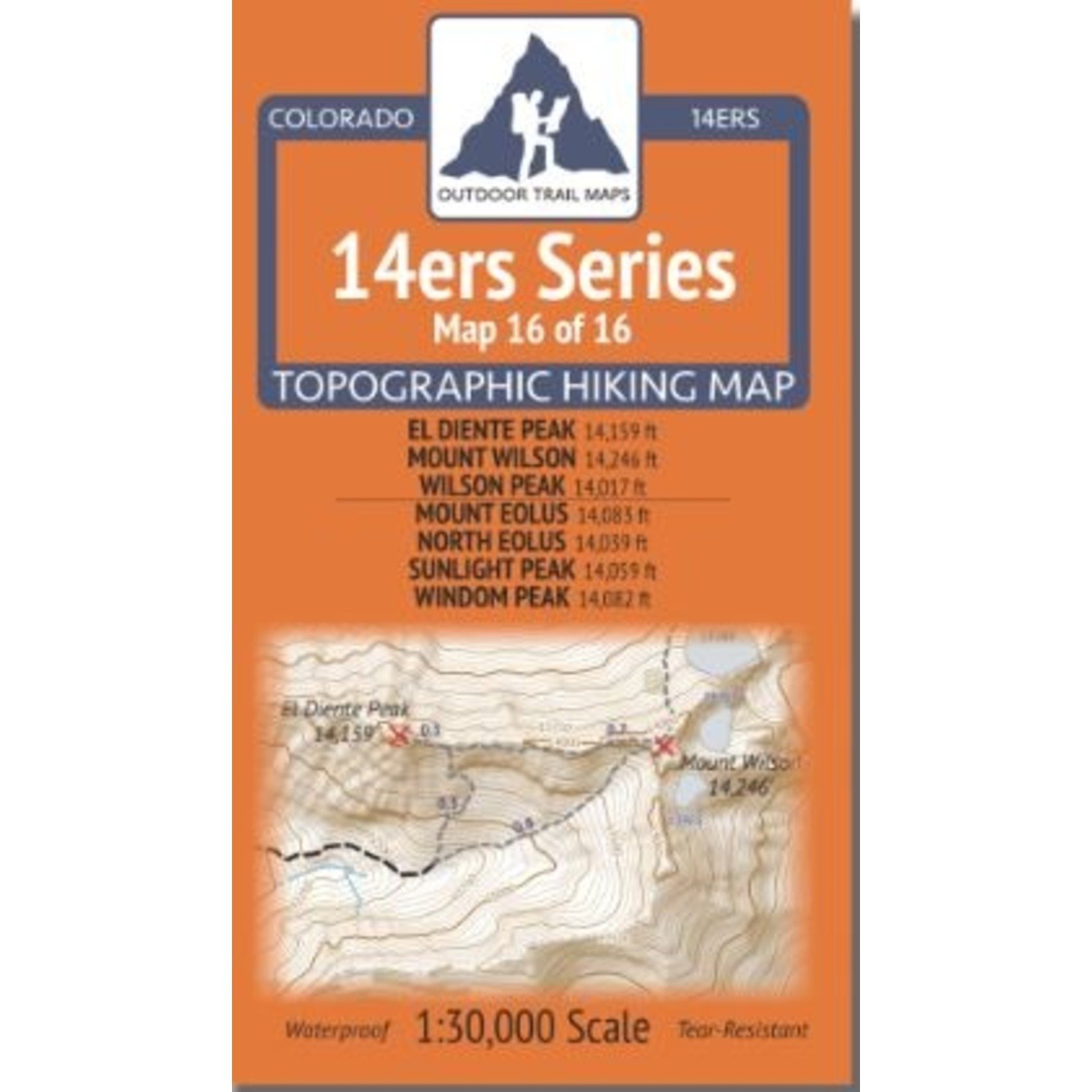
Colorado 14ers Series Topographic Hiking Map 16 of 16 covers fourteeners Mount Eolus, North Eolus, Sunlight Peak and Windom Peak on the back and El Diente Peak, Mount Wilson and Wilson Peak including all hiking trails in the surrounding areas.
Colorado 14ers Series Topographic Hiking Map 16 of 16 covers fourteeners Mount Eolus, North Eolus, Sunlight Peak and Windom Peak on the back and El Diente Peak, Mount Wilson and Wilson Peak on the front side, including all hiking trails in the surrounding areas.
A great map with suggested climbs of the 14,000 ft. peaks in the Weminuche Wilderenss of San Juan National Forest from the Chicago Basin area.
The perfect map for climbing a 14,000 ft peaks in the San Juan Mountains. (Map 14, & 15 also available in the series for the San Juan Mountains.)
This rugged trail map was designed for on-trail use in the toughest outdoor conditions in a compact and easy-to-fold size - no more fumbling with huge, inaccurate maps while on the go. Shown on the back of Map 16 is a detailed look at the Needle Creek Drainage and Needle Creek Trail from the Needleton Trailhead (trailhead stop along the Durango and Silverton Railroad) into the Chicago Basin - the jumping off point for access to Mount Eolus, North Eolus, Sunlight Peak and Windom Peak.
The front of Map 16 shows a large section of the Lizard Head Wilderness containing El Diente Peak, Mount Wilson and Wilson Peak. Access to these fourteeners is shown from the north via the Rock of Ages Trailhead over the Rock of Ages Trail into the Navajo Basin and from the south via Navajo Lake Trailhead and Kilpacker Trailhead via the Navajo Lakes Trail and Kilpacker Creek Trail. Also shown are routes from Woods Lake Campground and Woods Lake Trailhead into Navajo Basin and a primitive route from Lizard Head Trail to the pass south of Wilson Peak.
Looking for more information or ideas for your upcoming trip? Pop over to the San Juan Mountains Association website at: https://sjma.org/

