Your cart is currently empty
Product image slideshow Items

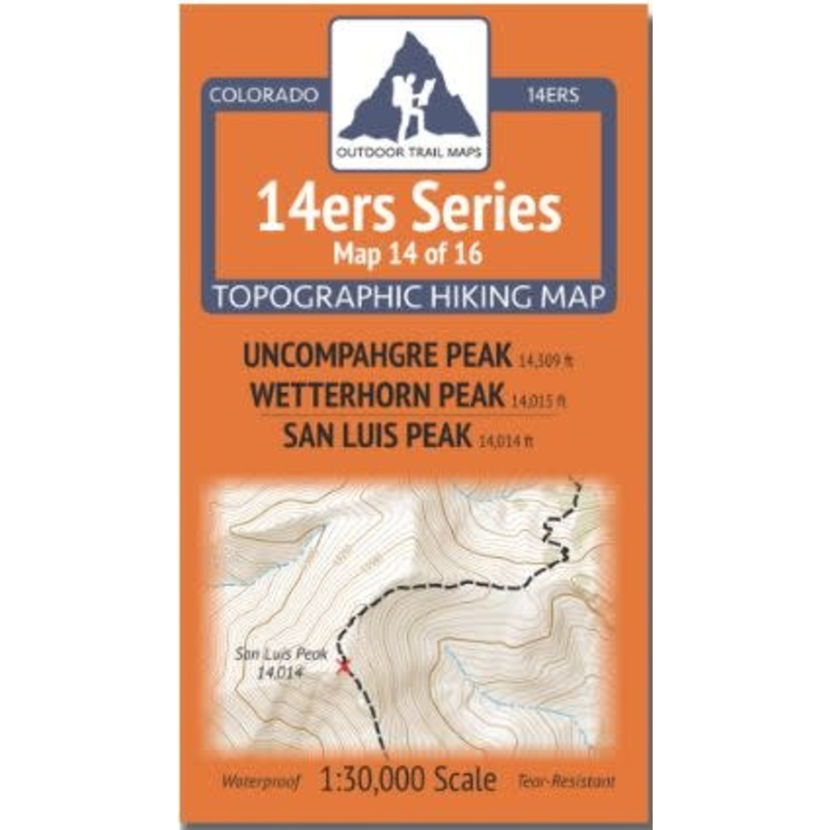
14ers Series Topographic Hiking Map 14 of 16 covers fourteeners Uncompahgre Peak and Wetterhorn Peak on the front side and San Luis Peak on the back, including all hiking trails in the surrounding areas.
14ers Series Topographic Hiking Map 14 of 16 covers fourteeners Uncompahgre Peak and Wetterhorn Peak on the front side and San Luis Peak on the back, including all hiking trails in the surrounding areas. This rugged trail map was designed for on-trail use in the toughest outdoor conditions and includes the following features:
The front of 14ers Map 14 shows the southern portion of the Uncompahgre Wilderness including multiple routes in the area of Uncompahgre and Wetterhorn peaks. From the east, access is shown via Nellie Creek Trailhead, the Uncompahgre Peak Trail and El Paso Creek Trail. Access from the south is provided by trailheads along North Fork Henson Creek to Wetterhorn Basin Trail and Ridge Stock Driveway Trail. Other trails shown include the Matterhorn Trail, East Fork Trail, and Wetterhorn Peak Trail.
Routes to San Luis Peak from the east via Stewart Creek and the Colorado Trail / Continental Divide Trail as well as from the south via San Luis Pass Trail and the CT / CDT are featured on the back of Map 14. Also shown on this side are Cañon Hondo Trail, Cascade Creek Trail and the Bonholder Trail. This is Map 14 of 16 14ers Maps covering all Colorado 14ers.
Looking for more information or ideas for your upcoming trip? Pop over to the San Juan Mountains Association website at: https://sjma.org/