Your cart is currently empty
Product image slideshow Items
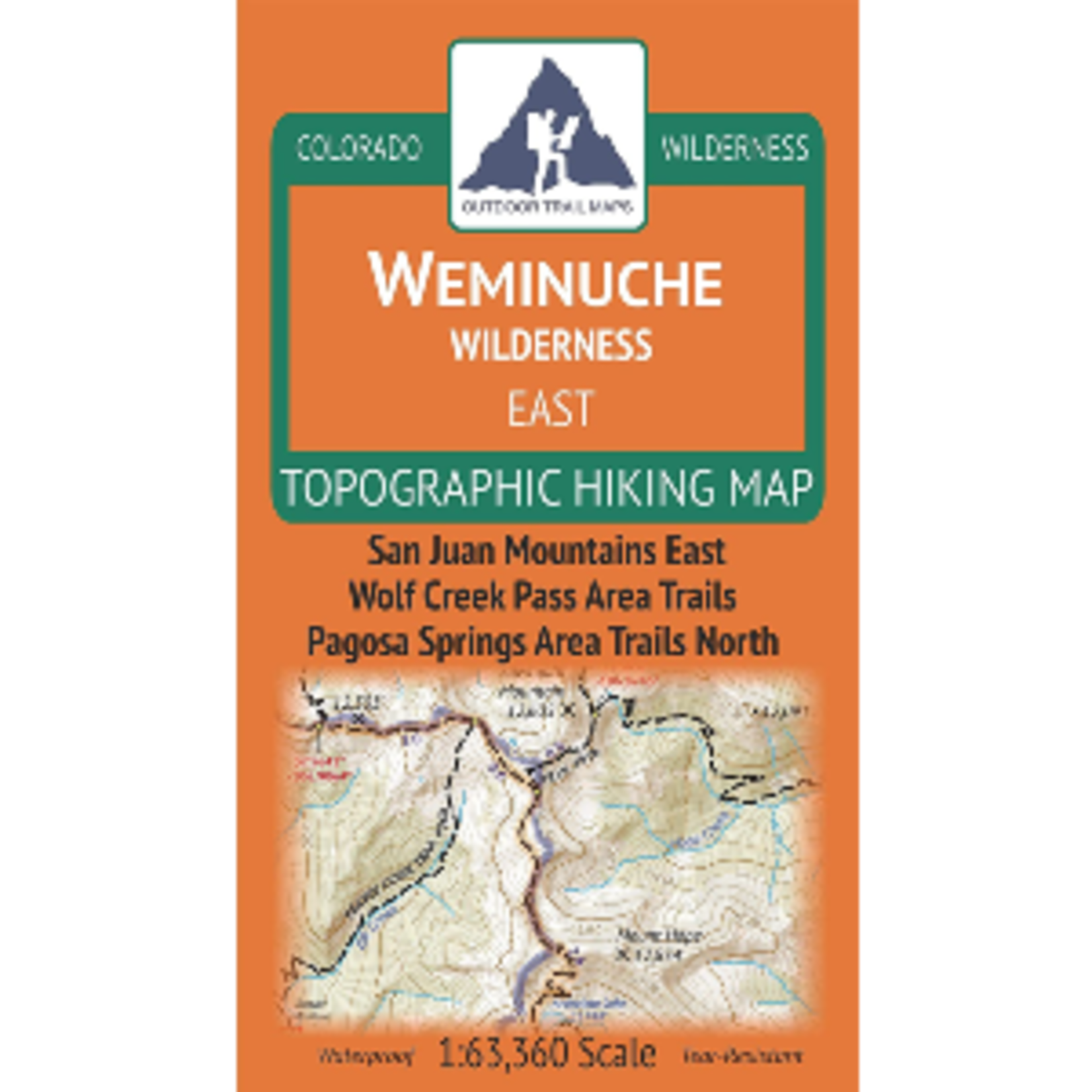
Outdoor Trails Map- Weminuche Wilderness East: San Juan Mountinas East, Wolf Creek Pass Area Trails, Pagosa Springs Area Trails North
Waterproof, tear-resistant, 1:63,360 scale with a compact 4"x7" folded size for your pocket
Outdoor Trails Map- Weminuche Wilderness East: San Juan Mountinas East, Wolf Creek Pass Area Trails, Pagosa Springs Area Trails North
Waterproof, tear-resistant topographic hiking map covering all of the hiking trails in eastern portion of the Weminuche Wilderness area of Colorado west of Wolf Creek Pass, north of Poncha Springs and south of Creede and Lake City.
The front side of the map covers trails in the heart of the wilderness north of the Piedra River.
The back of the map shows the very eastern portion of the wilderness near Wolf Creek Pass and Poncha Springs. This map contains a long stretch of the Continental Divide Trail. See the separate Weminuche West Map by Outdoor Trail Maps LLC for coverage of the western portion of the wilderness.
Product carousel items

