Your cart is currently empty
Product image slideshow Items
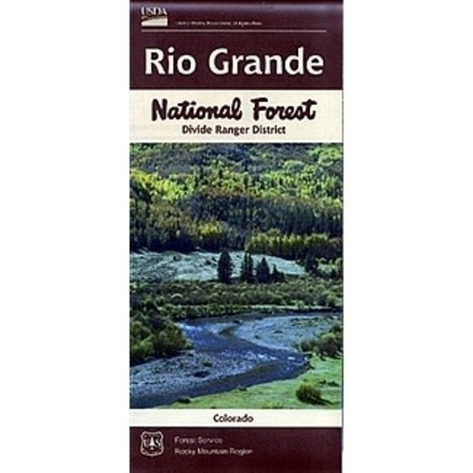
Rio Grande National Forest map for the Divide Ranger District, covers the Del Norte, South Fork, Creede and Lake City areas.
The Divide Ranger District manages almost 940,000 acres within the Rio Grande National Forest. 2016 Edition.
Rio Grande National Forest map for the Divide Ranger District, covers the Del Norte, South Fork, Creede and Lake City areas. The Divide Ranger District manages almost 940,000 acres within the Rio Grande National Forest. 2016 Edition.
The district is located in portions of Rio Grande, Saguache, Mineral, Hinsdale, and San Juan counties in south-central Colorado, and serves the communities of Monte Vista, Del Norte, South Fork and Creede. Map includes La Garita Wilderness and a section of Weminuche Wilderness south of Rio Grande Reservoir to near Wolf Creek Ski Area. Official Forest Service map @ 1/2" = 1 mile(no topographic detail), shows all lands, roads, water features, trails, campgrounds, other recreation sites, points of interest, and scenic byways. Map is useful for hunting in Big Game Unit 76.
The 979,687 acre Divide Ranger District is located in Rio Grande, Mineral, San Juan and Hinsdale Counties in south-central Colorado. The vast district includes the headwaters of the Rio Grande and over 100 miles the Continental Divide. The district serves the four communities of Monte Vista, Del Norte, South Fork, and Creede and is connected by US Highway 160 and Colorado State Highway 149.
The landscape is dominated by the rugged eastern portion of the San Juan Mountains and varies in elevation from 7,800 feet at the foothills to over 13,800 feet along the Continental Divide.
Highlights of the District include portions of two wilderness areas (Weminuche and La Garita), long portions of the Colorado Trail and the Continental Divide Trail, the Silverthread Scenic Byway, Wolf Creek Ski Area, Wheeler Geologic Area and the historic mining district of Creede. Jeeping and other off road vehicle (ATV, motorcycle, mountain biking) routes abound outside of the wilderness areas.