Your cart is currently empty
Product image slideshow Items
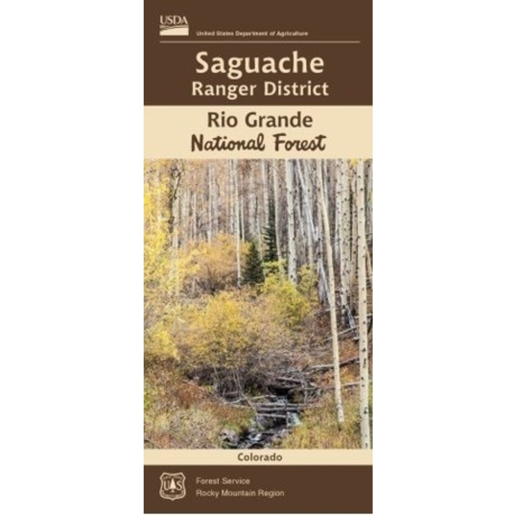

The Saguache Ranger District manages 515,750 acres of the Rio Grande National Forest stretching from the rugged Sangre de Cristo Mountains on the east to the San Juan Mountains and the Continental Divide on the west.
The Saguache Ranger District manages 515,750 acres of the Rio Grande National Forest stretching from the rugged Sangre de Cristo Mountains on the east to the San Juan Mountains and the Continental Divide on the west. The “lower” edges of the district start at about 8000 feet in elevation while the highest peaks in the Sangre de Cristo Wilderness scratch the clouds at over 14,000 feet.
The Sangre de Cristo Mountains form the valley’s rugged eastern rim. This incredible landscape is protected in the Sangre de Cristo Wilderness Area. The section which lies within the Saguache Ranger District includes four “14ers”—mountains more than 14,000 feet high.
Across the valley to the west, the San Juan Mountains rise gently from the valley floor. More than 50 miles of the Continental Divide form the district’s western boundary. The district also manages a portion of the La Garita Wilderness, the least visited wilderness area in Colorado. The southern part of the district is a geologists delight where you can still see rocks formed by ash flows that were spewed out more than 28 million years ago by the largest known volcanic eruption, now known as the La Garita Caldera.
Product carousel items
