Your cart is currently empty
Product image slideshow Items
**BRAND NEW EDITION** This new map has lots of updates and looks amazing!
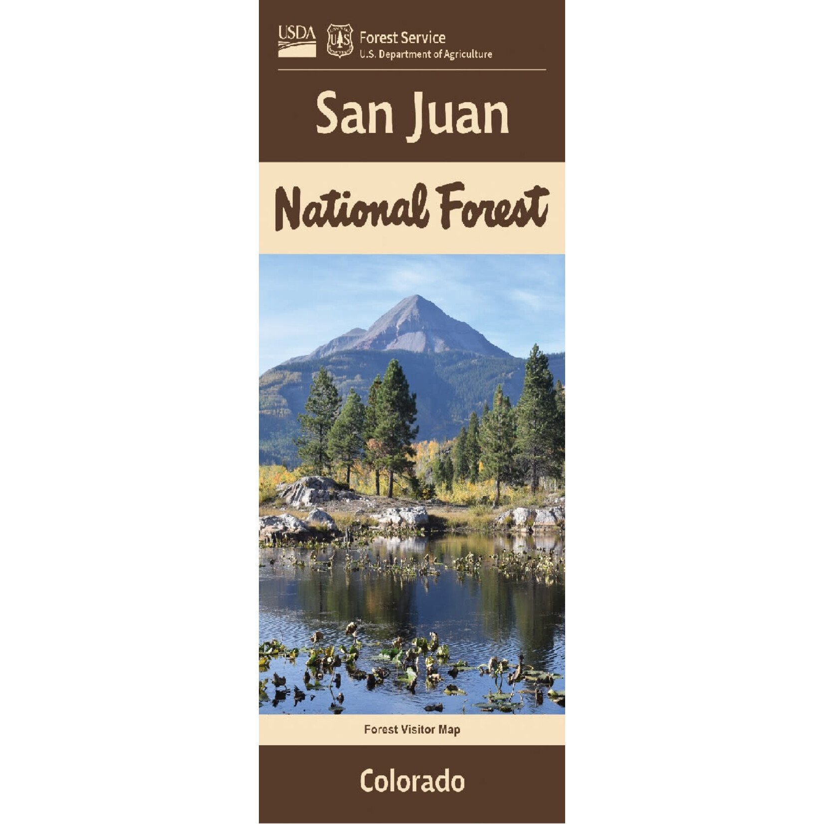
The San Juan National Forest is a U.S. National Forest covering over 1,878,846 acres in western Colorado. The forest occupies land in Archuleta, Conejos, Dolores, Hinsdale, La Plata, Mineral, Montezuma, Rio Grande, San Miguel and San Juan Counties.
The map shows roads, trails, motorized use trails, seasonal restriction area boundaries, snowmobile restriction areas, streams, lakes, recreation sites, land ownership information, and major points of interest. Essential guide to southwestern Colorado, Durango, Cortez, Ouray, Pagosa Springs, and Weminuche Wilderness. A great map for travelers scenic driving on Hwy 550 between Durango and Ouray. Enjoy camping, fishing, boating, and hiking at McPhee Reservoir, Vallecito Reservoir, or Williams Creek Reservoir. The map includes information about motorized off-road travel (ATVs, jeeps, motorcycles, etc.) There are many opportunities for OHV use in the San Juan Mountains. Map is useful for CO Hunting Units 65, 70, 71, 72, 73, 74, 75, 76, 77, 78, 711, 751, and 771. The scale is 1:126,720 or 1/2" = mile.
For help with trip planning, visit : https://sjma.org/?s=trip+planning
Or give us a call: 970-385-1210
Product carousel items


