Shopping cart

Your cart is currently empty

Product image slideshow Items

  • U.S. Forest Service White River National Forest Map, Colorado 2019
  • U.S. Forest Service White River National Forest Map, Colorado 2019

U.S. Forest Service White River National Forest Map, Colorado 2019

$16.00
Excl. tax

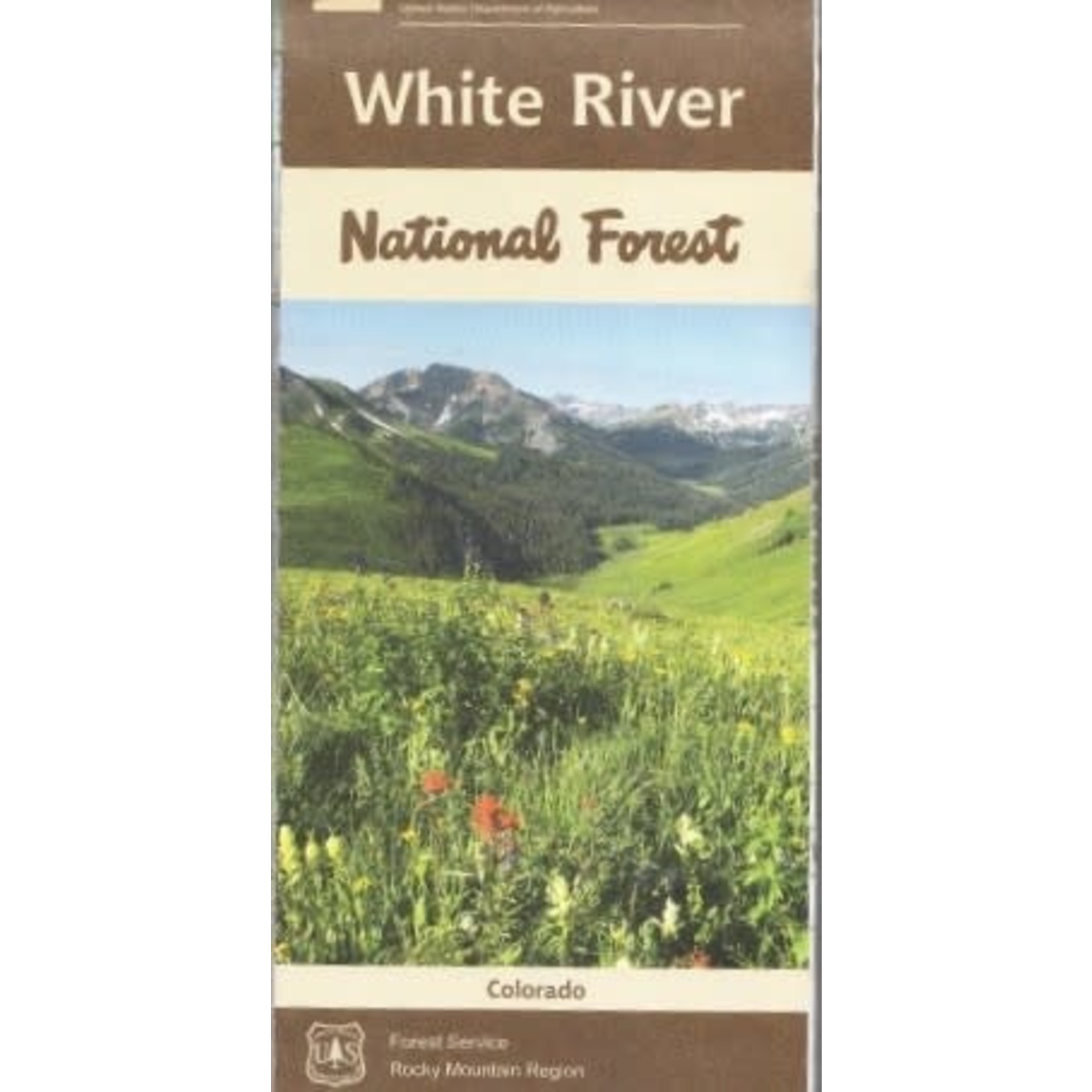
The 2.3 million acre White River National Forest is the top recreation Forest in the nation. Home to world-renowned ski resorts and the birthplace of Wilderness, the White River has something to offer every outdoor enthusiast.

The rating of this product is 0 out of 5

(0)
In stock

Official Forest Service map of the White River National Forest which is the most visited national forest in the nation encompassing 2.3 million acres.

  • Year - 2019
  • Topo (Contour) Lines - No
  • Relief Shading - Yes
  • Material - Paper Tyger
  • Double Sided - Yes

Nestled in the heart of the Rocky Mountains, the 2.3 million acre White River National Forest is the top recreation Forest in the nation. Home to world-renowned ski resorts and the birthplace of Wilderness, the White River has something to offer every outdoor enthusiast.

  • The forest includes 11 ski resorts, eight Wilderness areas, 10 mountain peaks over 14,000 feet, and 2,500 miles of trails.
  • Waterproof and tear resistant material
  • Highlights recreation opportunities such as trails, campground, boat launches, and more
  • Includes official US Forest Service district office contact information to check local conditions as well as township and range section numbers
  • Land ownership boundaries (federal, state, private) are color coded
  • Printed in the U.S.A.
  • Folded Dimensions: (L" × W" × D") 9 × 4 × .25
  • Unfolded Dimensions: (L" × W") 48 × 36
  • Map Scale: 1/2" = 1 mile (1:126,720)
0 stars based on 0 reviews
Add your review