Your cart is currently empty
Product image slideshow Items
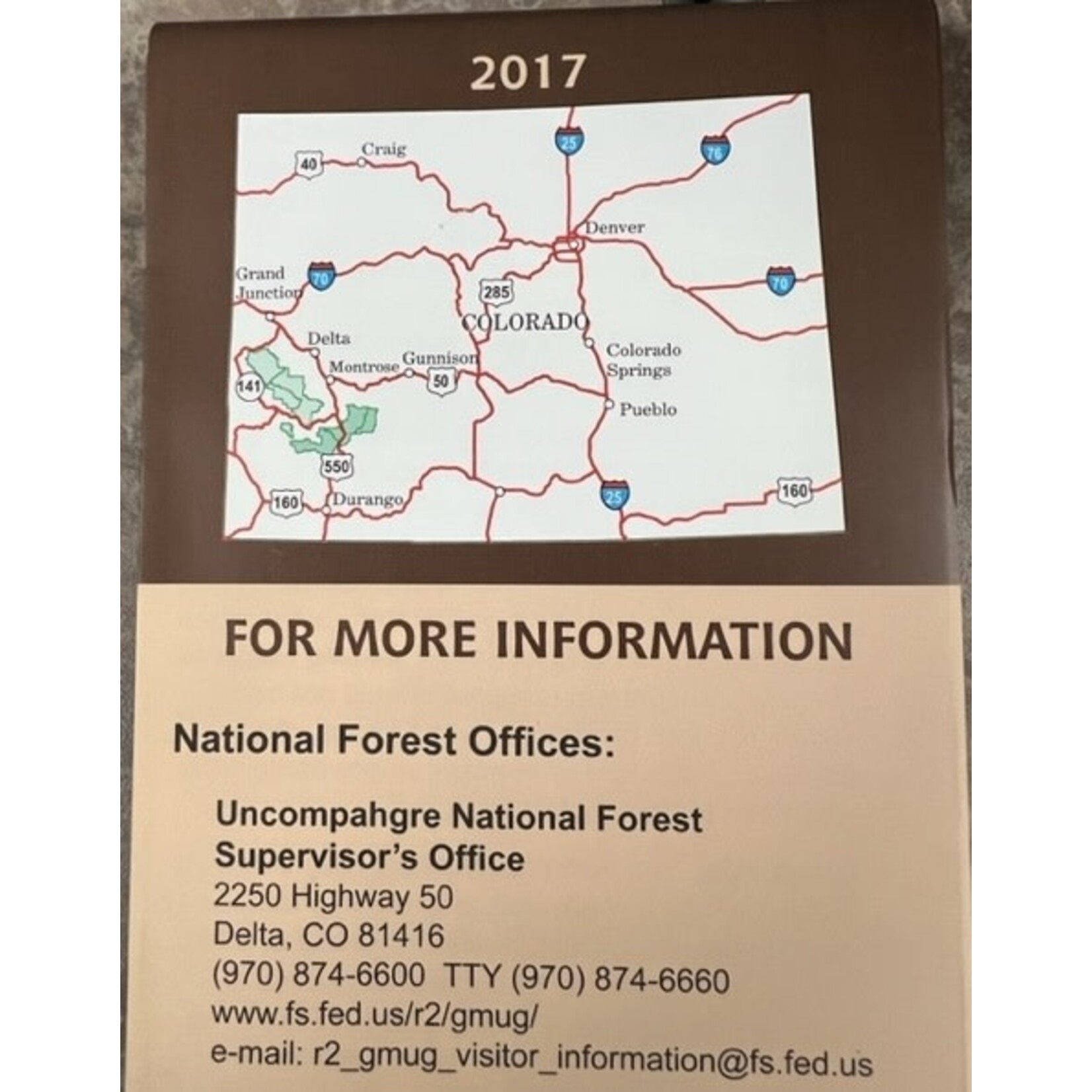
2017 Map covers areas south of Ridgeway to Ouray. East to Lake City, west to near Groundhog Reservoir and South to near Silverton.
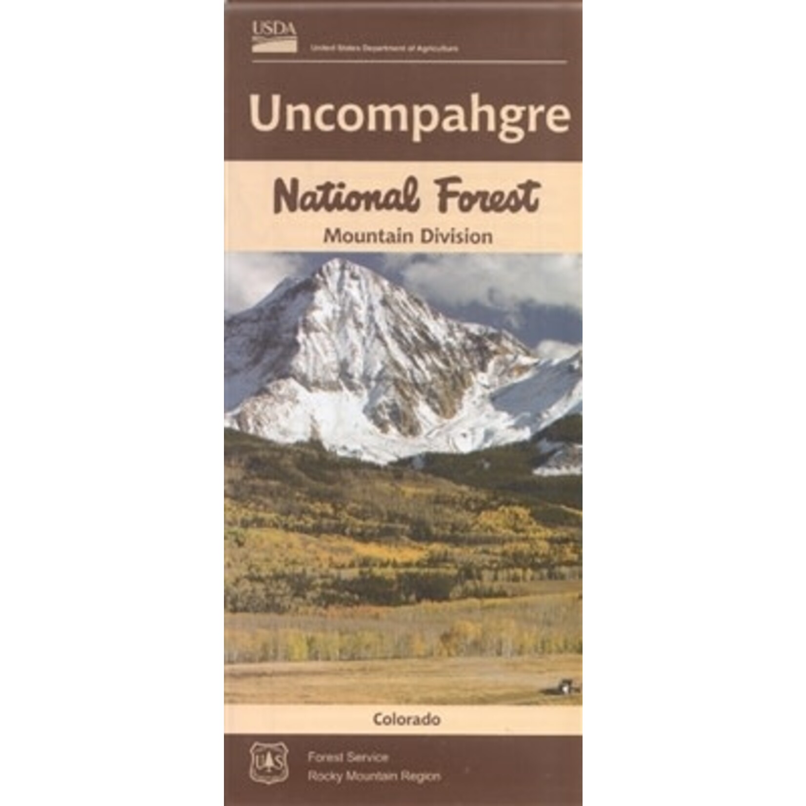
Official Forest Service map @ 1/2" = 1 mile(no topographic detail), shows all lands, roads, trails, campgrounds and other recreation sites in the area from just south of Ridgeway to Ouray. East to Lake City, west to near Groundhog Reservoir and South to near Silverton. Scenic driving on all the highways, including to Lizard Head Pass on Hwy 145 south of Telluride. The map includes information about motorized off-road travel on back roads and trails (ATVs, motorcycles, jeeps, etc.) Map is useful for CO Hunting Units 65, 70, 71, and 74. It's on tear proof, water resistant paper updated in 2017.
The map features descriptions and images of special and distinctive features, recreation opportunities, trails, scenic areas, alpine wilderness areas, archaeological and historical heritage protection, backcountry 4-wheeling, Leave No Trace skills and ethics, hunting, bear safety, and travel management rules, regulations, definitions, and signs.
Also included are a complete legend, index to USGS 7.5' topographic maps, recreation site index, and contact information for National Forest offices, Bureau of Land Management offices, and Colorado State Park offices.
Two-sided, self-cover, waterproof folded map.
Size: 4" × 9" folded; 44" × 27" unfolded
Product carousel items


