Your cart is currently empty
Product image slideshow Items
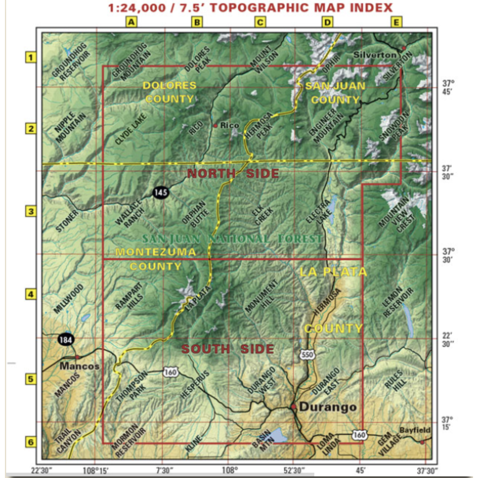
Map Coverage covers all or part of 117 USGS 1:24,000 7.5-minute topographic maps:
North – Ridgway State Park
South – Mesa Verde National Park
East – Pagosa Springs
West – Cortez
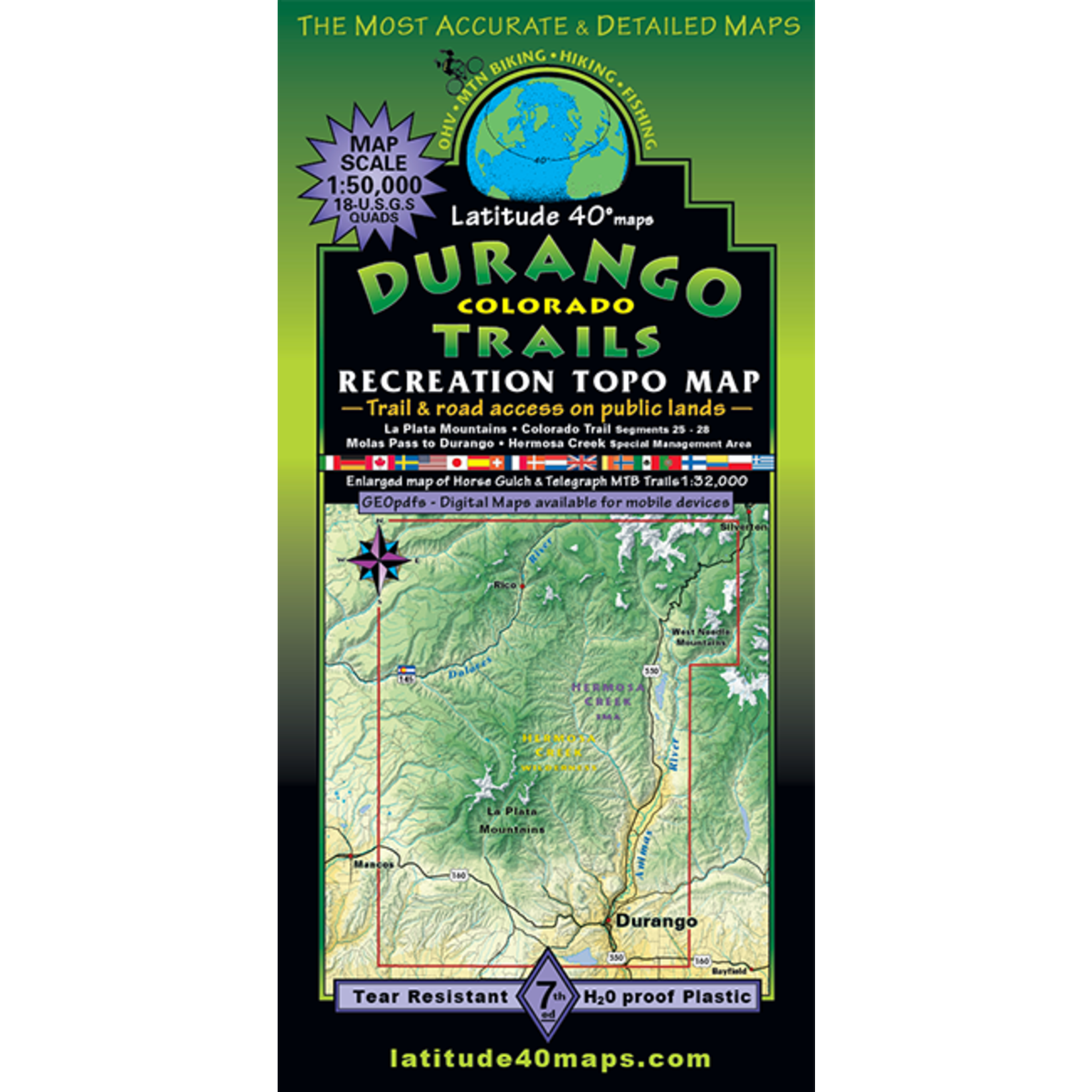
This map is a staff favorite. Showing trails for hiking, horseback riding, What trails allow motor vehicles and those that don't. Clear and easy to read. Takes you from Durango up to Molas Pass and shows some of Rico area as well.
Map Coverage covers all or part of 117 USGS 1:24,000 7.5-minute topographic maps:
Looking for some assistance or more ideas for your trip? Pop over to the San Juan Mountains Association website at: https://sjma.org/
Product carousel items


